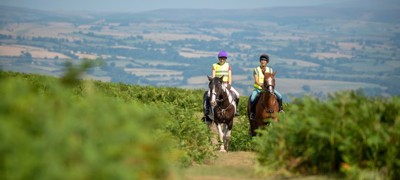
Discover MOD off-road routes
The Ministry of Defence (MOD) owns and maintains hundreds of thousands of hectares of land which it uses for military training. It’s incredibly varied, including coastal cliffs, sand dunes, remote hills, and even green spaces in highly populated areas. It also has some of the greatest biodiversity in the UK. Some of this land is publicly accessible so has the potential for amazing rides.
 play-circle
Watch
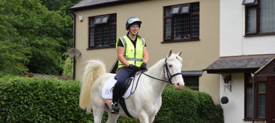
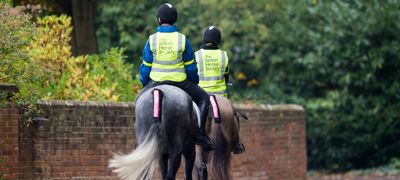
How to ride safely on MOD land
How to access the Defence Training Estate
Access to the Defence Training Estate (DTE) is managed by the Defence Infrastructure Organisation (DIO), the part of the MOD responsible for enabling defence people to live, work, train and deploy at home and overseas.
Some MOD land not used for training is let to tenant farmers. These areas will normally only be publicly accessible on public rights of way to avoid disruption to farming activities.
Information about public access
You can find details on where you can ride safely and restrictions to accessing MOD land on the UK Government’s website. You can also check firing times in your area.
How to stay safe when riding on MOD sites
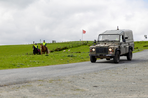
Look out for red flags and red lights!
chevron-down
chevron-up
The MOD flies red flags (or switches on red lights at night) on sites when high-paced tactical training is taking place. These training exercises often include the use of live ammunition, armoured vehicles, artillery and Defence personnel. No public access is allowed whilst flags are raised, or red lights are lit.

These sites are likely to be marked as “Danger Areas” on an Ordnance Survey Explorer map, with the boundary shown by solid red triangles. If there are public rights of way across a Danger Area the MOD uses byelaws to close them temporarily when red flags or red lights are used.

If you see a red flag on your ride do not attempt to enter the site. Check your map in advance to make sure you know where Danger Areas are and plan your route safely around them. Note that the boundary of the Danger Area might not be shown on older maps or maps at other scales.
Guidance and information on how you can use the DTE responsibly can be found here
Be aware of Managed Access areas
chevron-down
chevron-up
Live ammunition is only used on certain MOD training areas. However, other locations are used for activities which may include loud noises, pyrotechnics, smoke or vehicle movement. There may also be more covert, quiet operations so just because you can’t hear or see the training doesn’t mean it’s not taking place.

These sites can be shown on the Ordnance Survey Explorer map as “Managed Access” areas. The boundary is denoted using triangles with a red outline. The red flag system is not used on these sites, but you should always adhere to any signs and information displays.
Hazards
What are the hazards?
chevron-down
chevron-up
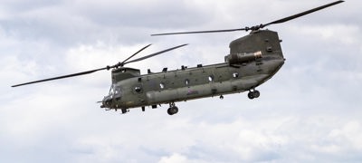
The MOD takes steps to reduce the risk to those accessing MOD land, but the DTE is a working environment so you must be aware that if you ride across a military training site there may be hazards including:
- Loud bangs caused by the firing of live or blank ammunition
- Hidden pyrotechnics which cause flashes of light, noise, and smoke
- Military debris and unexploded ordnance - ammunition which has not exploded after being fired and still poses a risk
- Fast moving vehicles, including trucks, tanks, and quad bikes
- Camouflaged troops

Challenger 2 Main Battle Tank on Salisbury Plain Credit: Crown Copyright

Live training at Brecon Credit: Crown Copyright
General safety advice when riding on MOD land
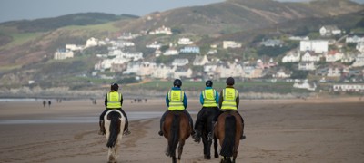
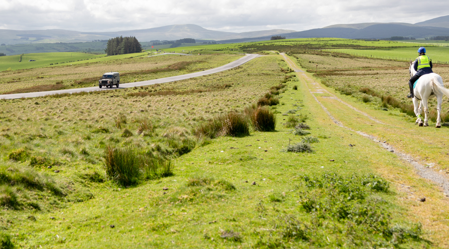
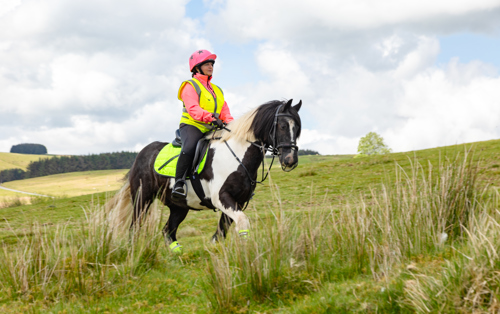
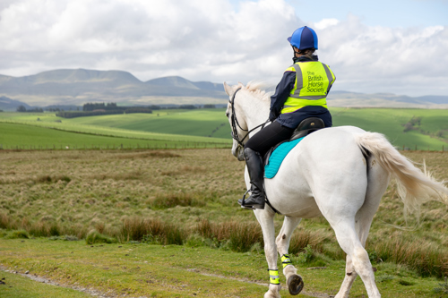
Make sure you are visible
We advise that you always wear hi-vis while riding out, both on yourself and your horse, to help everyone see you at the earliest opportunity. Hi-vis clothing for you and your horse should be visible from all angles – front, back, side and above. This enables as much visibility of you as possible, including from aircraft. If you are not wearing hi-vis, or are wearing clothing that blends into the surroundings, reaction times are potentially reduced.
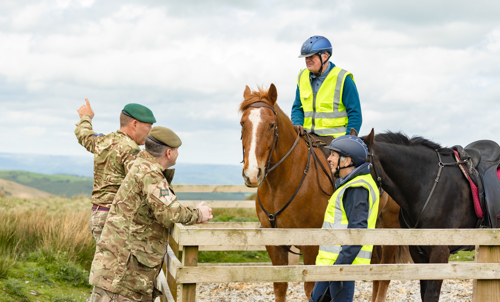
Always adhere to advice given by military personnel or on signs and information boards
Only ever ride out when and where it is safe to do so, and with caution at all times. Try to avoid interrupting military training exercises.
Keep watch for vehicles around you
Look and listen when riding on or crossing roads and tracks. Be aware that drivers of some vehicles have reduced visibility
.
Be aware there may be sudden noises, smoke, or spontaneous illumination
These may be startling!
Do not touch or pick up any military debris or anything that looks suspicious
If you see something that looks like it could pose a risk dial 999 immediately.
Take a look at our top three MOD routes
Exploring MOD land can be a great way of unlocking breathtaking scenic routes across the UK. From coastal cliffs and sand dunes to remote hills and even green spaces in highly populated areas, explore the top three MOD routes across the UK.

Reporting incidents on MOD land
The DTE is managed in partnership with DIO Industry Partner, Landmarc Support Services.
Landmarc operates a 24 / 7 National Service Centre (NSC), which provides a single point of contact for any user of the DTE. If you see anything unusual, spot any damage to estate infrastructure or incidents of fly-tipping whilst using the estate, please contact the NSC team by calling 0800 022 3334 or emailing nsc@landmarc.mod.uk.
How to report a low flying aircraft, please click here.